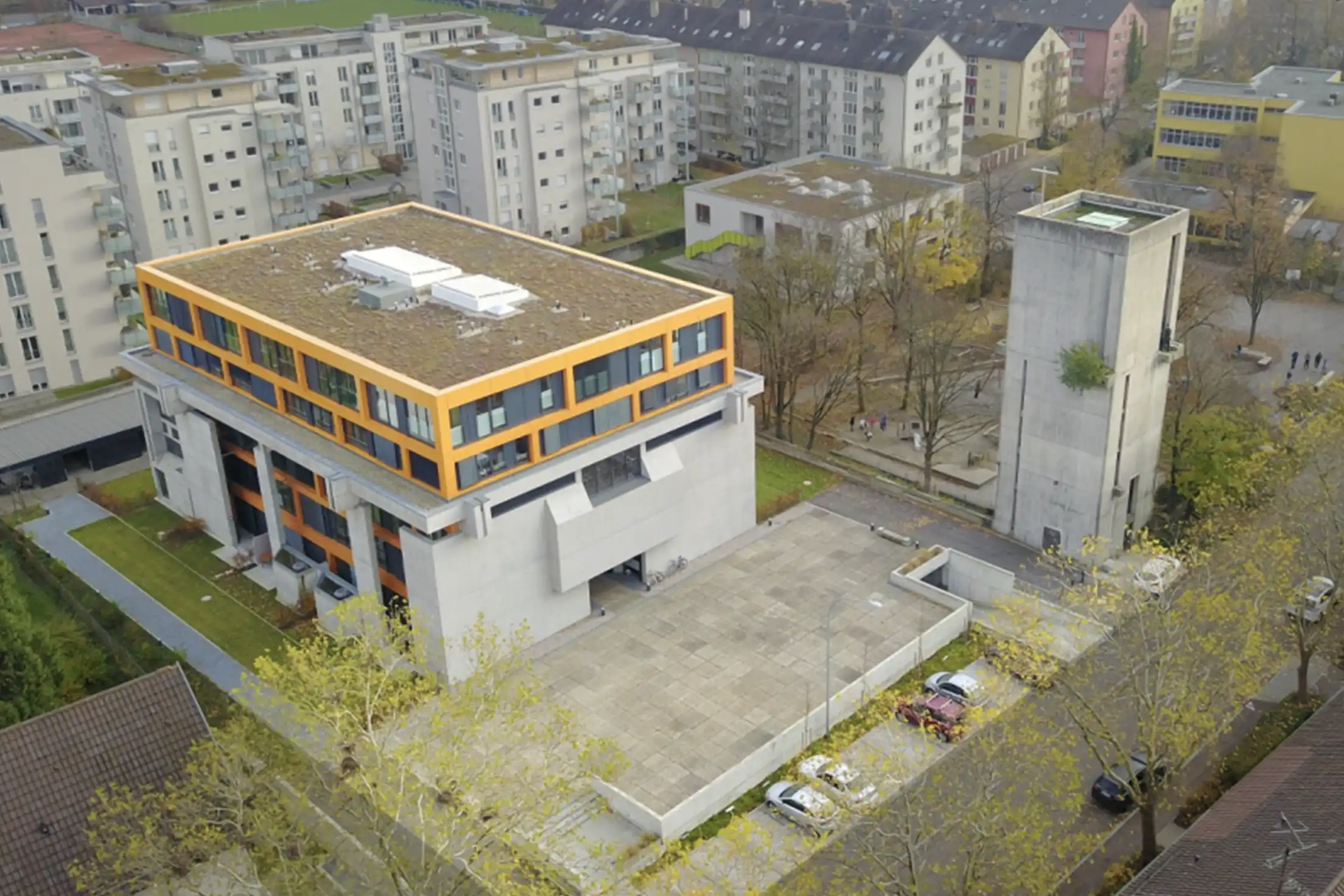
Our advanced photogrammetry software converts high-resolution aerial images into seamless, geo-referenced 3D models with exceptional visual detail.
Inspect and monitor hazardous or hard-to-reach areas safely and efficiently without putting personnel at risk.
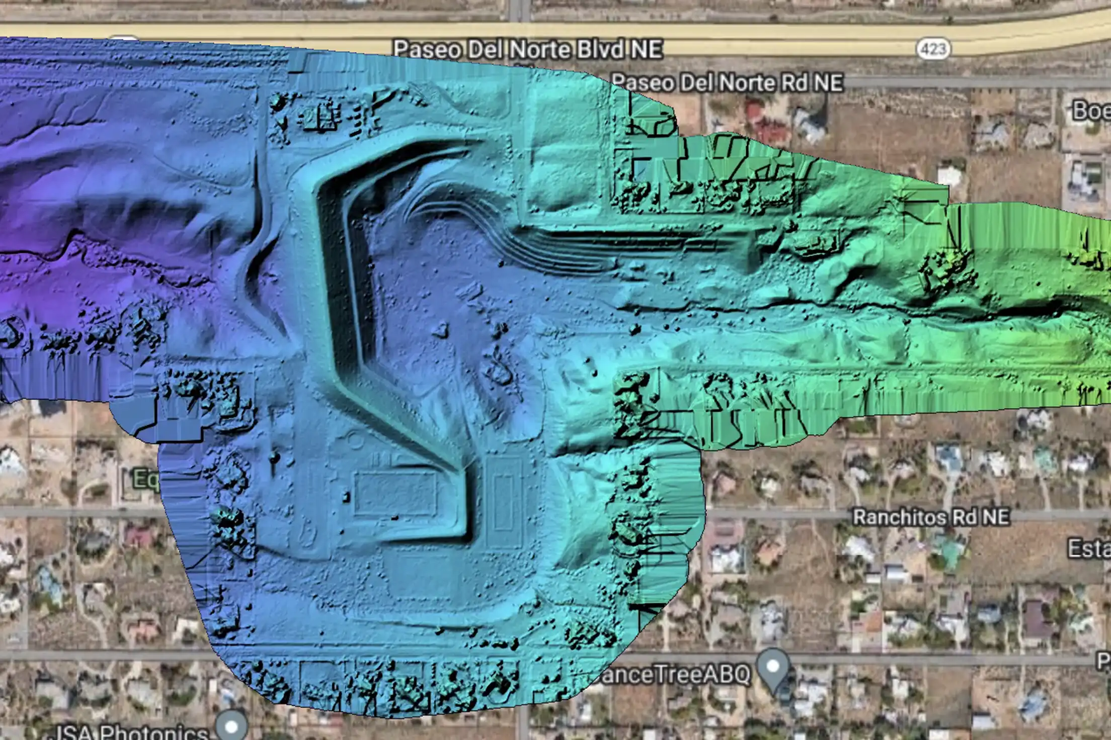
Reduce project costs with fast, high-resolution data capture that complements traditional field methods.
- Plan and visualize construction projects accurately.
- Present detailed 3D models to clients and stakeholders.
- Digitally reconstruct historical sites and monuments.
- Create virtual tours for study and preservation.
- Develop realistic environments for movies and games.
- Recreate historical scenes with high accuracy.
- Provide aerial base data that surveying and engineering firms build into their own deliverables.
- Support licensed professionals' civil project planning.
- Inspect bridges, roads, and other elements.
- Identify structural issues and plan maintenance.
- Monitor environmental changes and impacts.
- Assess deforestation, erosion, and more.
- Assess damage in disaster-affected areas.
- Plan recovery efforts with detailed models.
- Showcase projects with 3D models.
- Provide virtual tours and visualizations.
- Produce DSM/DTM data products as processing support for survey and engineering teams.
- Delivered for your licensed professionals to analyze and certify.
Experience the future of modeling with our state-of-the-art 3D model reconstruction services. Whether you need high-resolution 3D reconstructions, detailed architectural visualizations, or comprehensive infrastructure inspections, we deliver the detail and clarity your team needs.
Transform your projects with cutting-edge photogrammetry. Schedule your 3D model generation today and see the difference this technology can make.